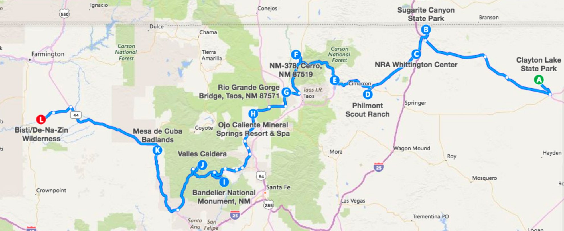
Road Trip for True Adventure Seekers (12 stops – 533.2 Miles)
Those whose prefer their roads—and hiking trails—less traveled can cruise toward these scenic state parks, wild rivers, preserves, and mineral-stained hills. Hike through aspen groves or across the Badlands’ moonscape. Climb ladders from a canyon bottom to visit an ancient kiva near its rim. Peer into 800-foot-deep gorges in black volcanic rock carved by the Rio Grande. Make sure to refresh those tired bones with a healing soak in the hot springs.
Additional Road Trips:
Native Culture | Cuisine | Architecture | Agriculture | Roadside Oddities | Route 66 | Families
A. Dinosaur Trackways at Clayton Lake State Park
From a half-mile wooden walkway, visitors can spot roughly 500 fossilized dinosaur tracks thought to be more than 100 million years old. Details as small as the footprints of a 1-foot-long baby iguanodon and the tail impression from a large herbivore that slipped in the mud and used its tail to catch its balance can be spotted on careful inspection, but the hubcap-sized imprints from the larger species here don’t require much searching to spot.

The prairies east of I-25 near Raton open up into this wildlife and wildflower-filled canyon. Watch for mule deer, elk, turkey, bear, and the rare mountain lion. Near the visitor center, cruise an elevated boardwalk with a built-in bird blind or an interpretive trail past the ruins of Sugarite Coal Camp, once a mining boomtown. The Soda Pocket Trailhead offers a 6-mile loop hike through Gambel oak and aspens before reaching a ridgeline affording a view of the whole canyon and a descent that passes Lake Maloya, the north end of which intrudes into the state of Colorado.

Gunmen stoked to hone their skills at a shooting range or skeet field and first-time shooters can both be served at the Wellington Center. RV and tent camping is available on site, as are modern and backcountry cabins. The center runs guided hunts for bull elk, mule deer, pronghorn antelope, spring turkey, and black bear, and boasts a near 100 percent success rate.

Just four miles south of Cimarron, Philmont Scout Ranch promises high-adventure outings at the largest Scout ranch, hosting nearly 25,000 scouts and visitors each year on the 214-square-mile property. The on-site museum is open and free for the public, with exhibitions focusing on the history of and art from the area. The Seton Memorial Library preserves the collections of the Boy Scouts founder Ernest Thompson Seton. Guided tours are available of ranch founder Waite Phillips’ summer home.
E. Enchanted Circle Scenic Byway
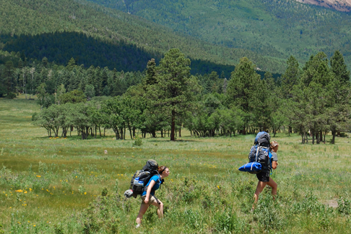
This 83-mile driving tour travels through Northern New Mexico’s Mountain passes, valleys, canyons, and mesas, ringing the state’s highest point, Wheeler Peak (elevation 13,161 feet, accessed from Taos Ski Valley). From Highway 64 headed west, catch the loop at Eagle Nest and the scenic Eagle Nest Lake State Park, and the Carson National Forest’s abundant hiking and camping options. The route then climbs Bobcat Pass through the Enchanted Forest, passes Red River Ski Area, and loops around to Taos via the quaint village of Questa. The region is known to adventure seekers for thousands of acres recreation opportunities, such as hiking, mountain biking, ziplining, camping, and rock climbing.
F. La Junta Trail at Wild Rivers Recreation Area
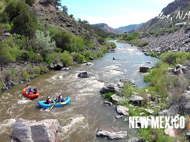
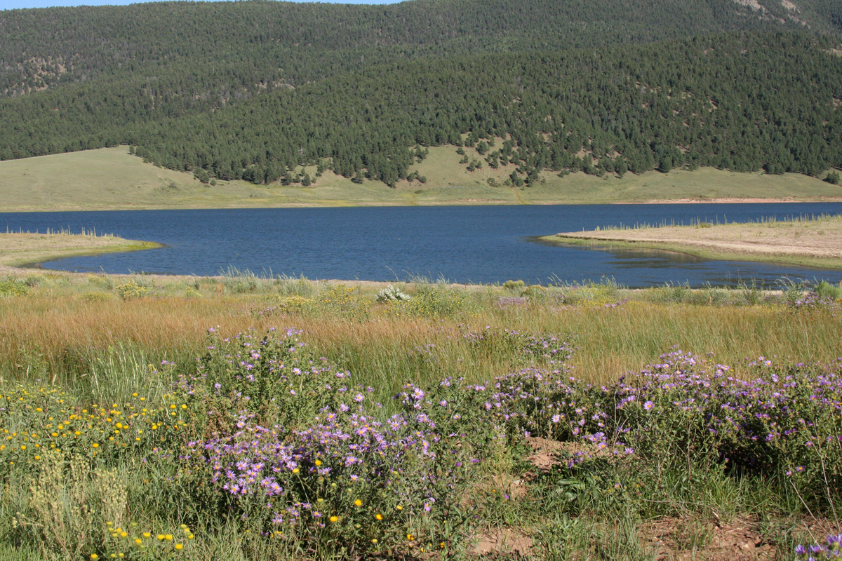
Less than one half of 1 percent of the nation’s rivers have been officially designated Wild and Scenic Rivers and thereby given stringent, wilderness-level protections, and New Mexico scored two—the Red River and upper Rio Grande. Stand at La Junta Point Overlook and the confluence of the two comes into view. Access it by hiking 800 feet down into the canyon on this 2.5-mile round-trip trail.
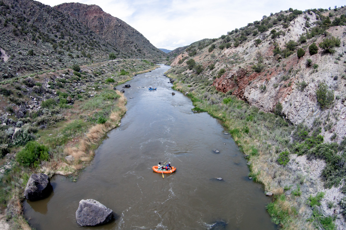
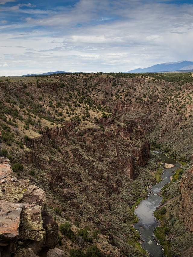
Nearly half a million years ago, the San Luis Basin in Colorado brimmed with a lake that then overflowed. As the water drained, it carved the Rio Grande Gorge into the volcanic rock of the Taos Plateau. Hiking trails tour the rim of the gorge among piñon and juniper trees, some of which predate the arrival of Spanish conquistadors, and boulders marked with the occasional petroglyph.
H. Ojo Caliente Mineral Springs Resort & Spa
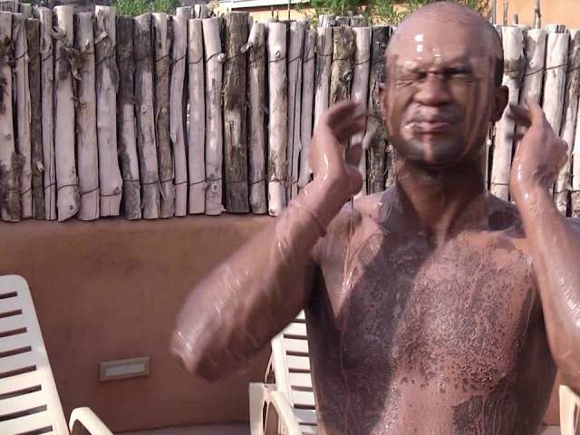
Soakers can dip in an array of eclectically decorated pools filled with one of four varieties of sulfur-free hot spring waters—iron, soda, arsenic and lithia. Each is ascribed its own physical or mental benefits, and the springs have long been considered sacred by local Native American tribes. Dine at the onsite restaurant, indulge in a massage, or hike or bike trails in the surrounding hills.
I. Bandelier National Monument
Descend from the ponderosa pine forests into the pinkish-tan canyon walls surrounding and housing ancestral pueblos built here between 1150 and 1550. From the visitor's center, the 1.2-mile main loop trail passes knee-high stone walls, conjuring images of a lost city, and kivas, historic ceremonial gathering places below ground. Ladders provide entry to some of the cavates, dwellings carved hobbit hole-like into the soft volcanic tuff of the canyon walls. Backcountry trails access wilder terrain and more distant ruins.

J. Valles Caldera National Preserve
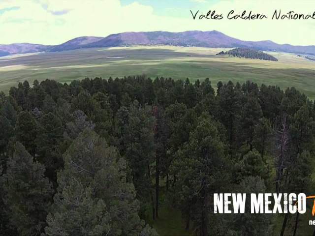
A lush, creek-filled basin stands now in the remnants of a super volcano, making for prime wildlife habitat and a maze of trails for hiking and mountain biking. More than 80 miles of singletrack and doubletrack trails climb to ridges and descend into their canyons, with varying degrees of technical skill required.
K. Mesa de Cuba
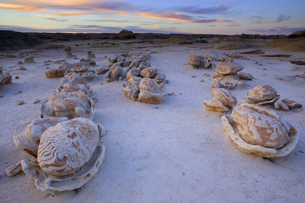
The Mesa de Cuba area, in the Badlands off the edge of the Santa Fe National Forest west of Cuba, offers miles of trail-less terrain to wander, searching out hoodoos, sandstone arches, box canyons, and iron concretions, dense ovoids made of mineral deposits. Expect to see a land carved and creased by wind and water—and likely almost entirely devoid of the latter.
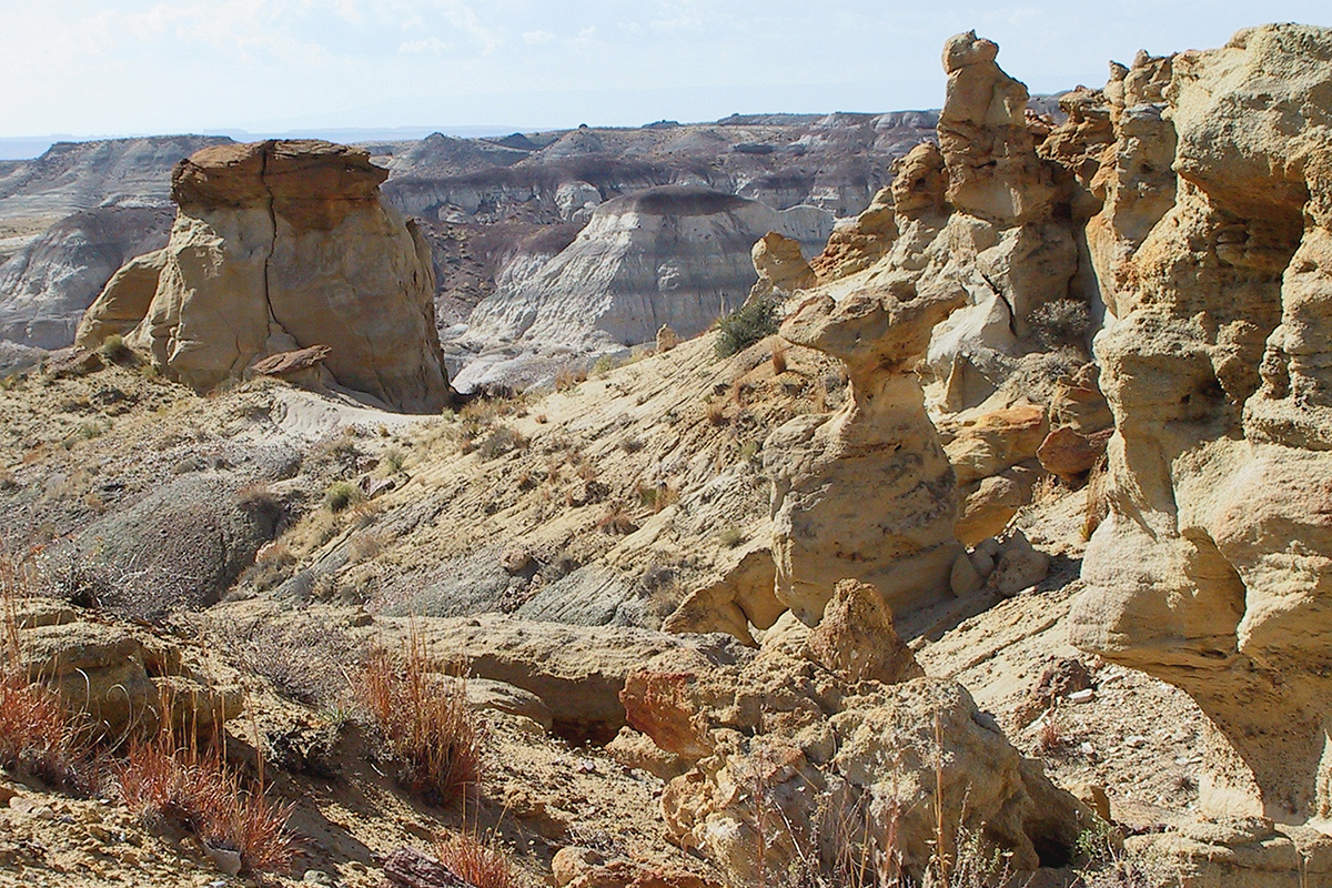
Iconic New Mexican artist Georgia O’Keeffe used to wander these hills in search of landscapes to inspire her paintings, and the “Black Place” she repeatedly illustrated is found somewhere in or near Bisti. This 4,000-acre wilderness area in the San Juan Basin boasts acres of hillsides stained red, black, orange and beige. Gnarled and improbable spires, often capped in balanced rocks, befit a moonscape.
BONUS STOPS:
Catwalk Trail and Cosmic Campground in Glenwood
Still feeling frisky? Brave the Catwalk Trail at in the Gila National Forest outside Glenwood. The half-mile system of bridges dates to the work of the Civilian Conservation Corps in the 1930s, and now hugs the canyon wall to provide an airy view of Whitewater Creek. Less established trails continue from there into the Gila Wilderness. Then roll into a sleeping bag out beneath one of the best night sky views around at the Cosmic Campground.

