Learn more about the many amazing attractions nearby.
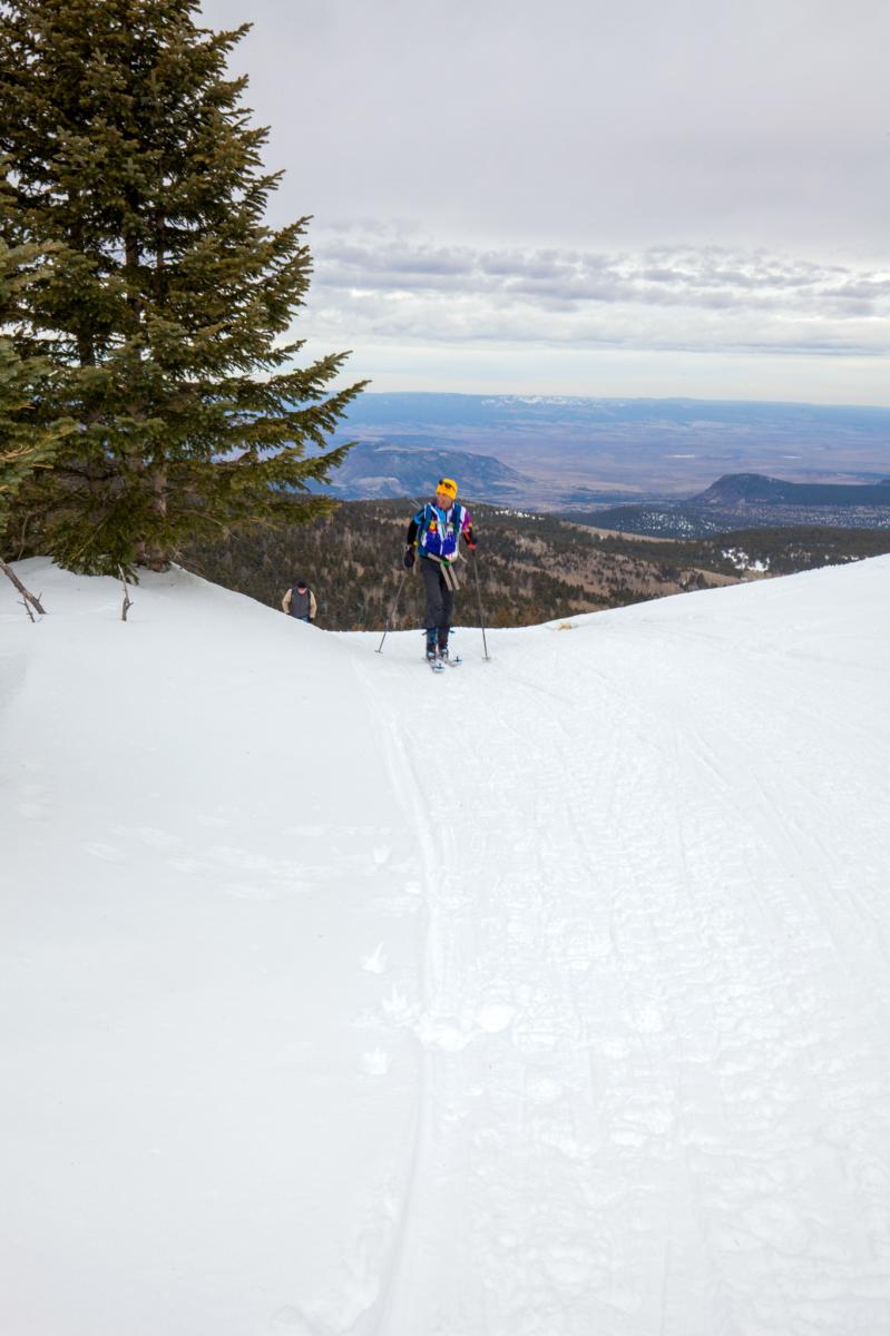
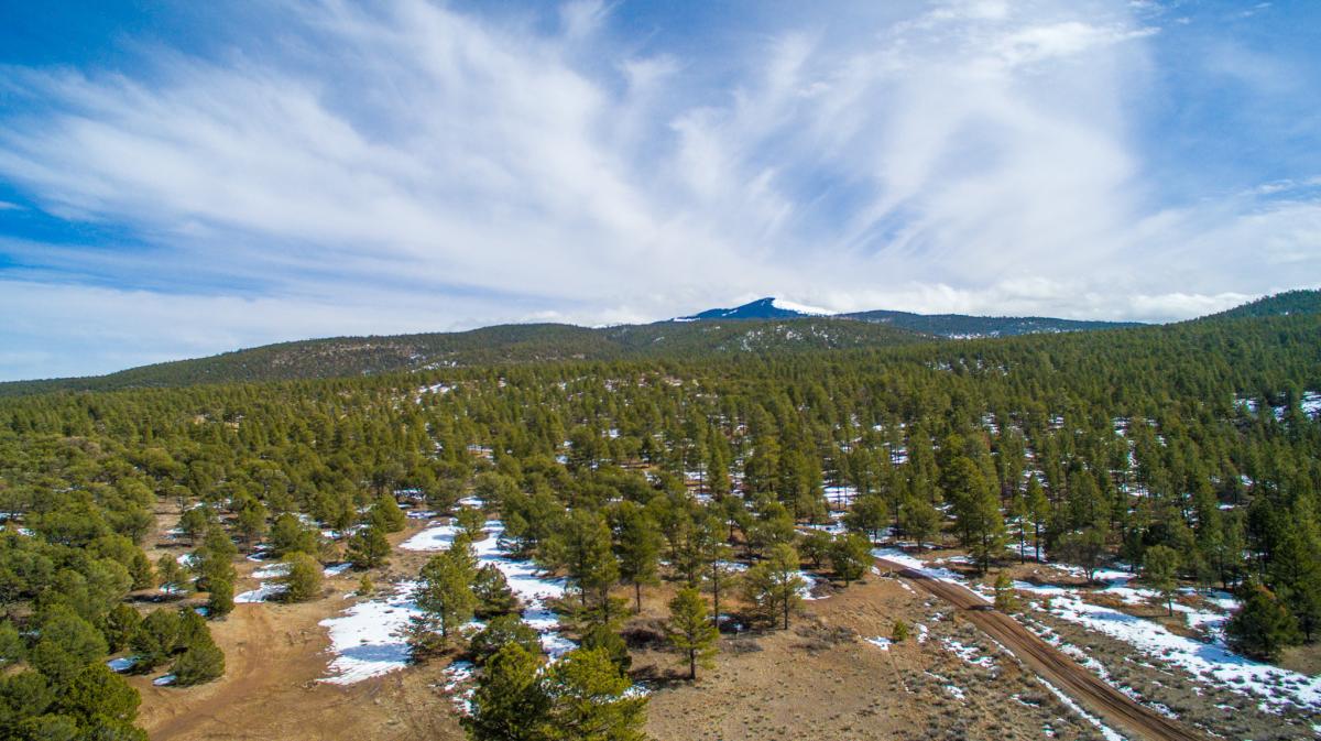
Mount Taylor
Mount Taylor abounds with scenic views, boasts the highest elevation in Northwestern New Mexico at 11,301 feet, and offers year-round recreation. May through October is the best time for hiking, wildflower viewing, and camping. When the snow falls, many enjoy cross-country skiing, snowshoeing, and tubing. For the casual driver, scenic trips offer beautiful views of the Mount Taylor Peak from numerous vantage points. Hiking Gooseberry Trail leads to the summit of Mount Taylor.
Zuni Mountains
Tucked away in beautiful Northwest New Mexico is a charming mountain range called the Zuni Mountains. Mt. Sedgwick rises 9256 feet over Ponderosa pine forests, colorful aspen-lined canyons, and green-topped red mesas. The Continental Divide runs through the middle, and these mountains have several flowing streams draining large, wet flowering meadows.
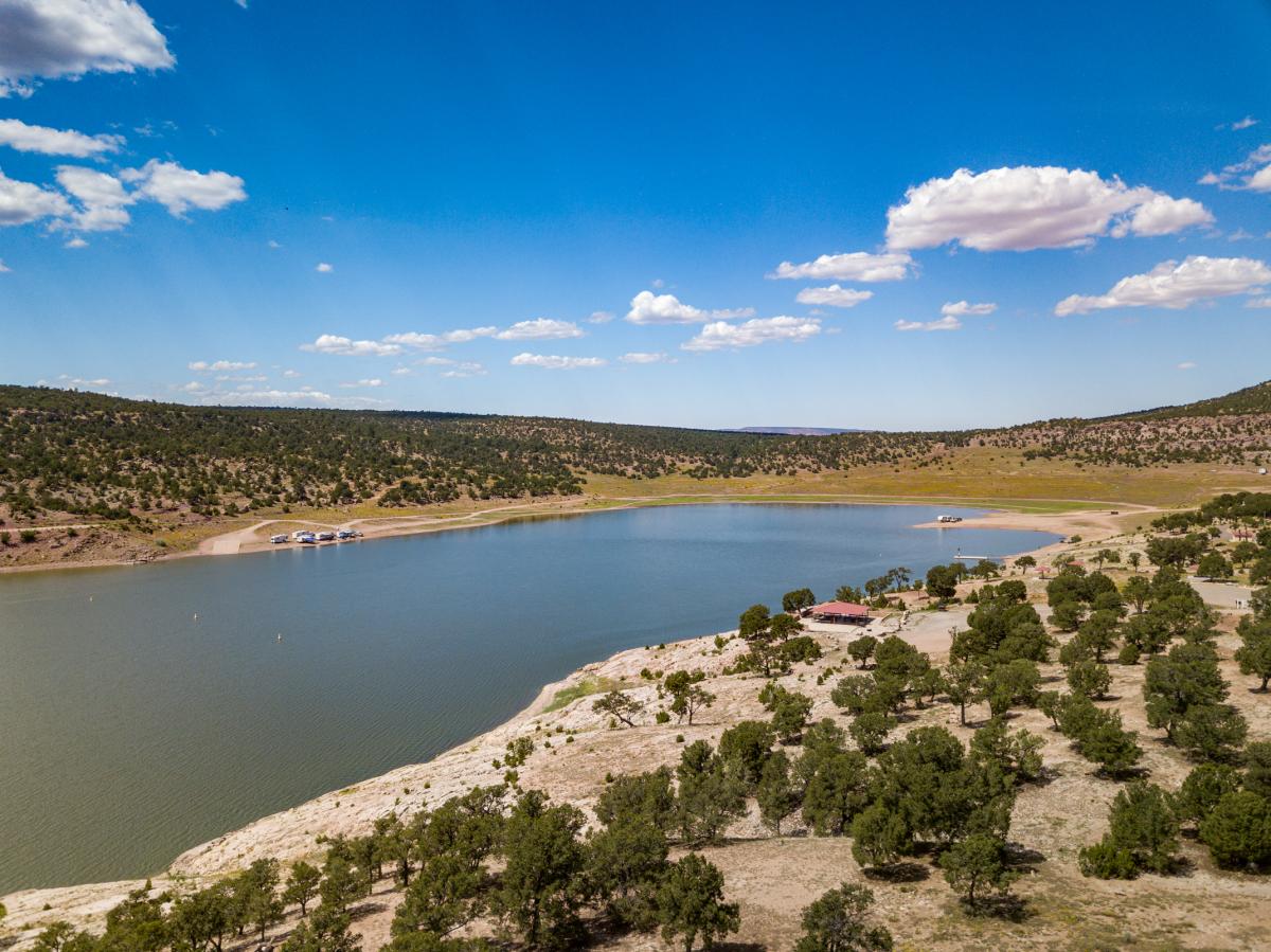
Bluewater Lake State Park
Bluewater Lake State Park is a state park, located in the Zuni Mountains 40 miles west of Grants. The park itself encompasses approximately 3,000 acres, and the lake has a surface area of approximately 1,200 acres.
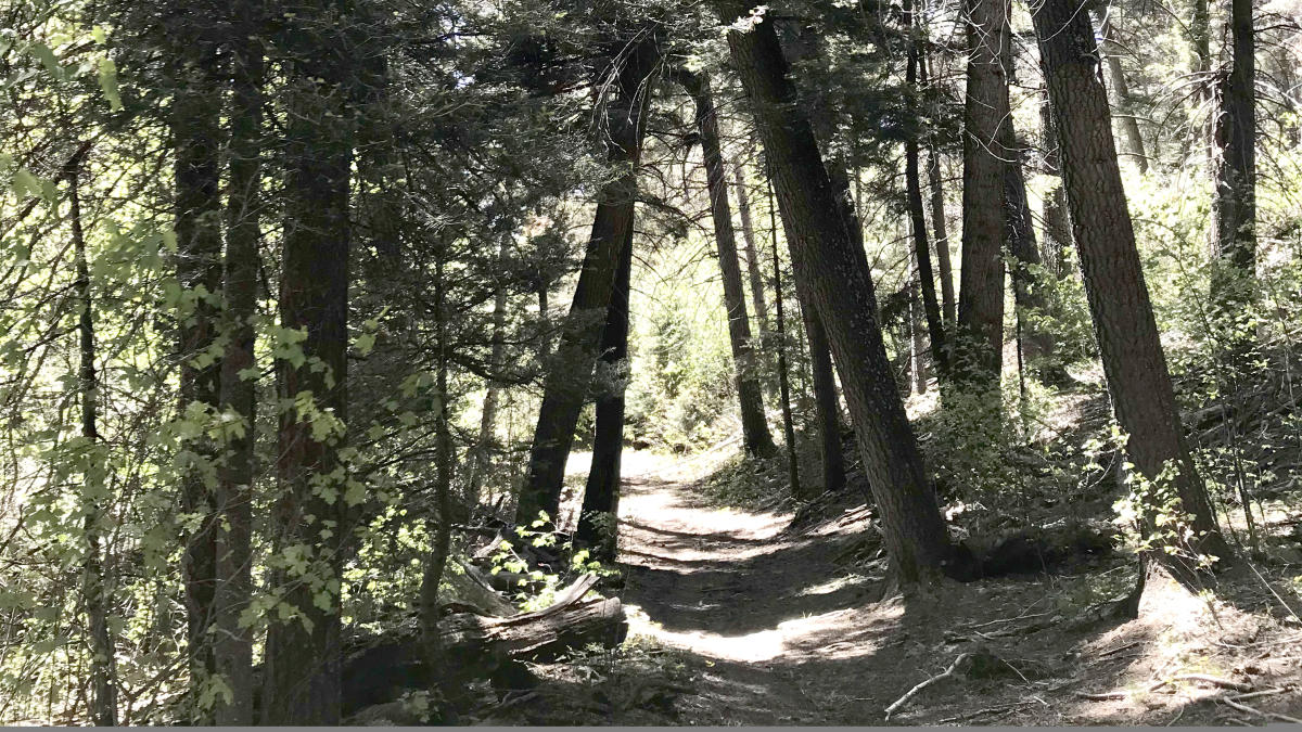
Gooseberry Spring Trail
Trail #77 climbs approximately 2.5 miles to the top of 11,301 feet high Mt. Taylor. The increase in elevation of around 2,126 feet makes this a challenging round trip hike of 4 to 5 hours. The trailhead is in the mixed conifer vegetation type at 9,175 feet. At 9,500 feet you enter the spruce-fir type, one of the highest vegetation zones in the Southwest. The hiker can see varied flora and fauna, as well as enjoy the interesting geological formations of the area. Summer and fall are the best times to enjoy the beautiful vistas of this mountain hike. Keep in mind the weather conditions as you plan your hike. On a clear day you can even see Colorado from the summit. Please remember that Mt. Taylor is sacred to Native communities and to respect their beliefs
Continental Divide Trail
From Canada to Mexico, the 3,100 miles of the Continental Divide Trail traverse remote and spectacular landscapes, and a portion of this national trail crosses El Malpais National Monument, south of Grants. The Los Volcanos segment is 100 miles of unique and ruggedly beautiful terrain. Grants has been designated as a CDT Gateway Community.
Coyote del Malpais Golf Course
Coyote del Malpais, designed by William Howard Neff, offers 18 holes of championship-style golf. Narrow fairways and 16 lakes make finesse and good aim imperative on the course. The good golfer will be rewarded! This golf course sits on the foothills of beautiful Horace Mesa and offers scenic beauty, native foliage, and outdoor wildlife.
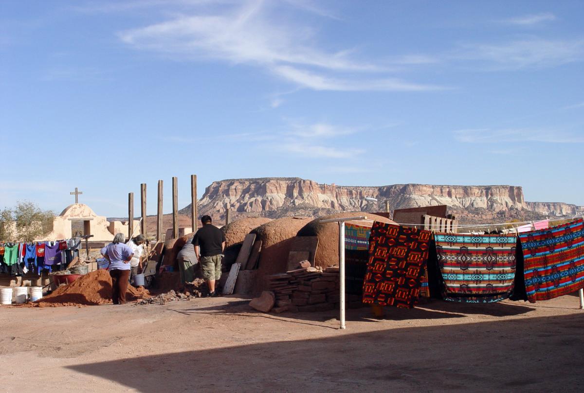
Sky City Casino and Hotel
Here, you can find Las Vegas-style gambling, bars, restaurants, and even live entertainment for all tastes. With fine accommodations, RV parking, and dining all in one place, it's an inclusive destination not far from the famous Acoma Sky City. So, whether you're looking for a night out or a weekend escape, the Sky's the limit!
Dancing Eagle Casino
This full-service casino boasts a nonsmoking slot room and an on-site restaurant, Cafe 108, that serves the famous Laguna Burger: an iconic New Mexican delicacy. Additionally, you can find RV spots and a grocery store for all your traveling conveniences.
El Malpais National Monument
Come to the El Malpais Visitor Center located at 1900 E. Santa Fe Avenue in Grants to plan your adventure.
El Calderon Area - El Malpais National Monument
Located within the El Malpais National Monument, hiking and backcountry exploring can be found in the El Calderon Area. From the winding trenches that were once glowing rivers of lava to the sloping hills of a long-quiet volcano, you can imagine the forces that created the area. Where else but a volcano can you see what created the rocks beneath your feet? This is where geology comes to life.
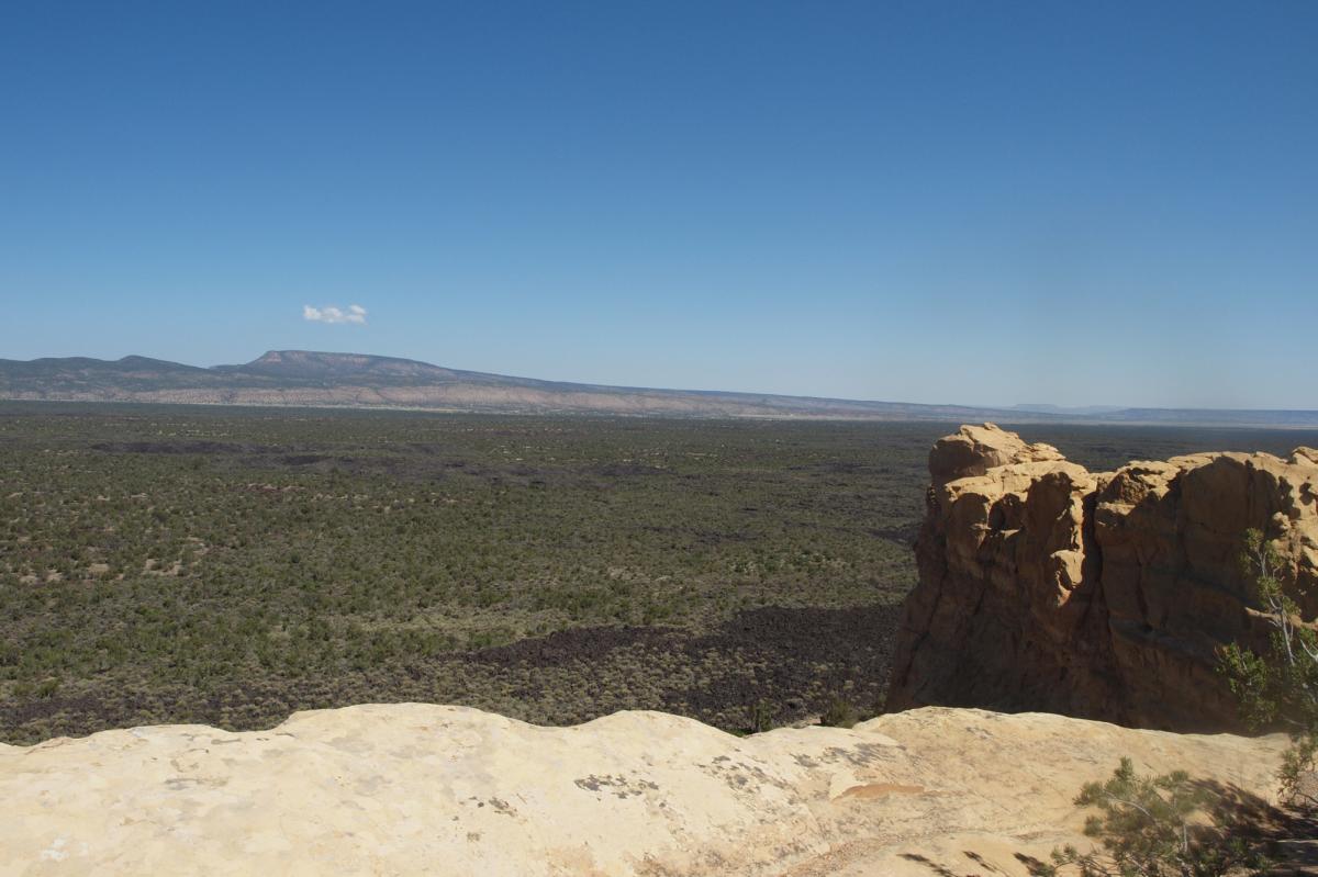
Sandstone Bluffs - El Malpais National Monument
An easy drive leads to a ridge of sandstone, offering excellent vistas of El Malpais's lava flows and surrounding countryside. Visit here for an excellent spot for photos or even to picnic.
The Narrows - El Malpais National Conservation Area
Enjoy solitude and scenic views while hiking the Narrows rim trail, where lava flowed near the base of 500-foot-high sandstone cliffs. Travel down NM117 to catch a glimpse of this majestic view.
Zuni-Acoma Trail - El Malpais National Monument
This ancient trade route crosses four of the area's major lava flows. The hike is a strenuous 7.5 miles one way over rugged lava terrain. The Zuni-Acoma Trail crosses the lava flows of El Malpais and has been in use for centuries.
Top